The M135M resolves fish targets and bottom structure with a focused CHIRP beam for coastal and deeper-water fishing. Rated to 457 m, it combines depth...More
The M135M resolves fish targets and bottom structure with a focused CH...
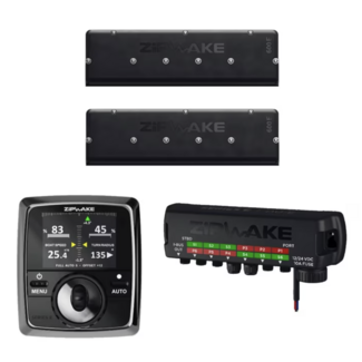
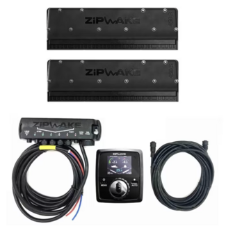
High-performance Zipwake 600E PRO straight trim system for vessels up to 30 m. Dual-servo interceptors provide fast, automatic pitch and roll stabiliz...More
High-performance Zipwake 600E PRO straight trim system for vessels up ...
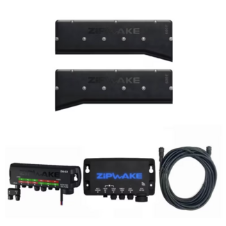
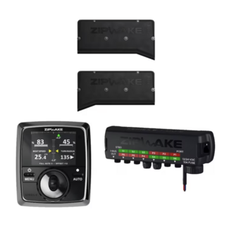
High-performance Zipwake 600E PRO chine trim system for vessels up to 30 m. Dual-servo interceptors and the IM-E PRO module deliver automatic pitch an...More
High-performance Zipwake 600E PRO chine trim system for vessels up to ...
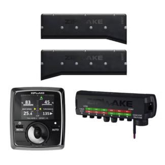
Professional Zipwake 600E PRO chine trim system for vessels up to 30 m. Dual-servo interceptors deliver fast, automatic pitch and roll control for V-s...More
Professional Zipwake 600E PRO chine trim system for vessels up to 30 m...
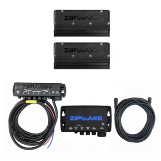
The Zipwake 450S PRO straight trim system is engineered for vessels up to 18 m. Dual brushless servos deliver rapid, automatic pitch and roll correcti...More
The Zipwake 450S PRO straight trim system is engineered for vessels up...
The Zipwake 450S PRO Integrator Straight Kit Box is a professional trim control system for vessels up to 18 m. Equipped with dual-servo actuators and ...More
The Zipwake 450S PRO Integrator Straight Kit Box is a professional tri...
Dynamic trim system for curved hulls up to 30 m, designed for commercial and heavy-duty vessels. Dual-servo interceptors ensure real-time pitch and ro...More
Dynamic trim system for curved hulls up to 30 m, designed for commerci...
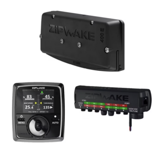
Professional chine trim system for vessels up to 30 m. The Zipwake 400E Chine Kit Box with dual-servo interceptors provides fast, precise stabilizatio...More
Professional chine trim system for vessels up to 30 m. The Zipwake 400...
Professional dynamic trim system for vessels up to 18 m. The Zipwake 300S PRO Integrator combines high-speed straight interceptors with centralized IM...More
Professional dynamic trim system for vessels up to 18 m. The Zipwake 3...
Professional 300 mm chine trim control system for boats up to 18 m. High-speed interceptors deliver instant roll correction and fuel-saving automatic ...More
Professional 300 mm chine trim control system for boats up to 18 m. Hi...
Dynamic trim control with 800 mm straight interceptors for vessels up to 30.5 m. Dual-servo actuators and GPS sensors deliver automatic roll and pitch...More
Dynamic trim control with 800 mm straight interceptors for vessels up ...