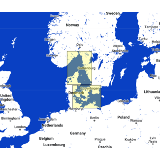
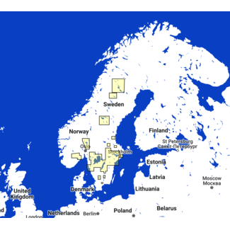
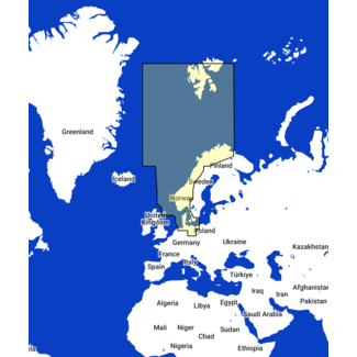
TZ MAPS of the waters surrounding Norway in Europe with Vector, detailed land information, high-resolution satellite photos and high resolution Bathym...More
TZ MAPS of the waters surrounding Norway in Europe with Vector, detail...
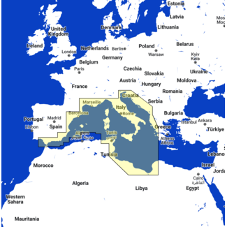
TZ MAPS of the Western Mediterranean area with Raster, Vector, detailed land information, high-resolution satellite photos and high resolution Bathym...More
TZ MAPS of the Western Mediterranean area with Raster, Vector, detail...
The Voyage Data Recorder (VDR) Module allows you to store all of the information received from the attached sensors to TZ Professional (GPS, radar, an...More
The Voyage Data Recorder (VDR) Module allows you to store all of the i...
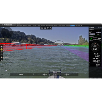
The Camera and Augmented Reality Module for TZ Professional allows you to display the active route and cross track distance directly on the camera vi...More
The Camera and Augmented Reality Module for TZ Professional allows yo...
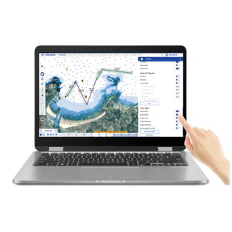
The TZ Navigator Extra Work Station lets you add an extra work station to your TZ Navigator Software which is ideal for recreational sailors, cruisers...More
The TZ Navigator Extra Work Station lets you add an extra work station...