Menu
EUR
TIMEZERO TZ MAPS: Rest of World - South Africa
€302,00 €297,00 Incl. tax
Add to cart
TIMEZERO TZ MAPS: Rest of World - South Africa
TIMEZERO
(0)

TIMEZERO TZ MAPS: Rest of World - South Africa

€302,00
€297,00 Incl. tax
In stock

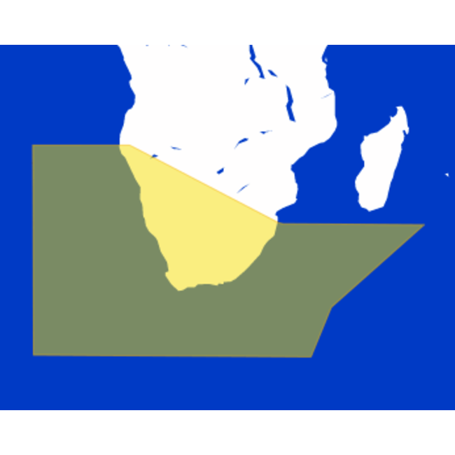
TZ MAPS of the South Africa area with Vector, detailed land information and high resolution Bathymetry. You can add and edit custom objects to your charts. Read more.

Delivery within 5 working days
  • Free shipping from €750
  • Shipping across Europe
  • Installation available – call us for details
  • Reliable, knowledgeable, and committed

Product description

TZ MAPS: Rest of World - South Africa

  • Reference: South Africa (af001)
  • Description: South Africa and Namibia.
  • Data Type: Vector, detailed land information, high resolution Bathymetry.
  • Manufacturer: MAPMEDIA


FEATURES 


Vector Data

Marine Vector Chart data uses a vector database to build the chart display. This data is kept in layers and contains information on every nautical chart feature, such as coasts, buoys, lights, and so on. These features and their qualities, such as position, color, size, shape, and others, are saved in a database and may be displayed and examined selectively. Vector maps are often the only reference in many areas of the world where there is no hydrographic service.

Land Information

Detailed land information allows for a better understanding of the coastline and its surrounding infrastructure.

High-Resolution Bathymetry 

TZ MAPS bathymetry is based on the visual interpretation of chart contour lines. This 3D model is highly useful while entering a port or harbor, offering another navigation tool to keep you aware of underwater threats.

Contour Lines of Depth

The finest bottom data is available, and the new BathyVision function lets you to display it in color and/or with contour lines in a dynamic and straightforward manner. To highly focus on high-potential fishing areas, the density of contour lines and related shading can be adjusted.

Altimetry

TZ MAPS use altimetry to correctly display the coastline. There are various advantages, including fast identification of port entrance and identification of certain coastal characteristics. Altimetry also allows you to move in a realistic perspective view of the horizon.


Specifications

Article number
South Africa (af001)

Reviews

0/5
0 stars based on 0 reviews
0 reviews
Any questions about this product?
Or do you need any help ordering? Feel free to get in touch with our support department at [email protected] or call us at +31 (0) 252 544 772. We're happy to help!
Any questions about this product?
Or do you need any help ordering? Feel free to get in touch with our support department at [email protected] or call us at +31 (0) 252 544 772. We're happy to help!

Recently viewed

TIMEZERO  TZ MAPS: Rest of World - South Africa
TIMEZERO
TZ MAPS: Rest of World - South Africa
TZ MAPS of the South Africa area with Vector, detailed land information and high...
€302,00 €249,59 €297,00 €245,45
 

Specifications

Article number
South Africa (af001)
0/5
0 stars based on 0 reviews
0 reviews
Choose your language
Choose your currency

Recently added

Total incl. tax
€0,00
Order for another €500,00 and receive free shipping
0
Compare
Start comparison

Review TIMEZERO TZ MAPS: Rest of World - South Africa

This product has been added to your cart
Please accept cookies to help us improve this website Is this OK? Yes No More on cookies »